Switzerland Map 3D Model – Realistic Satellite Terrain, FBX, OBJ
File Formats
Native Format
Exchange Formats
Features
3D Features
Geometry
Unwrapped UVs
Download information
After purchase, you will receive an email within several hours with a download link to access your files.
Description
Discover the stunning Switzerland Map 3D Model, a realistic satellite terrain asset perfect for visualizing the country's diverse geography. This high-quality model features intricate details, making it an ideal choice for various applications, including games, simulations, and architectural visualizations.
With a polygon count ranging from 720,000 to 11,520,000, this model is designed to deliver exceptional realism. It includes a wealth of textures and materials, as well as precise UV mapping, ensuring that your projects have a professional finish. The satellite imagery is derived from high-resolution sources, with Photoshop corrections applied to enhance the clarity and detail, particularly in areas affected by clouds.
- Formats: MAX, FBX, OBJ, STL
- Polygon Count: 720,000 - 11,520,000
- Geographic Projection: Mercator GCS_WGS_1984
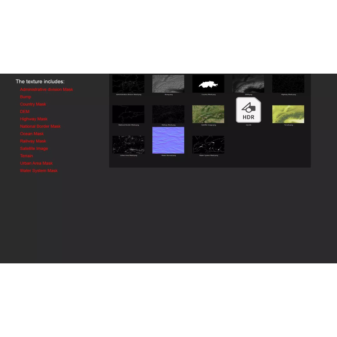
- Textures: Satellite imagery, DEM, color maps, and masks
- Unwrapped UVs: Non-overlapping
- Displacement Map: Generated from elevation data with ≥ 30-meter accuracy
This model is perfect for developers, artists, and educators looking to create realistic terrain visualizations. Use it in game development, architectural projects, or educational simulations to bring Switzerland's landscape to life.
Download the Switzerland Map 3D Model today and elevate your projects with stunning geographical detail!