Black Leather Boxing Gloves 3D Model – PBR Game-Ready Asset, FBX, OBJ
File Formats
Native Format
Exchange Formats
Features
File & scene
Geometry
Textures & material
UVs & naming
3D Features
Unwrapped UVs
Download information
After purchase, you will receive an email within several hours with a download link to access your files.
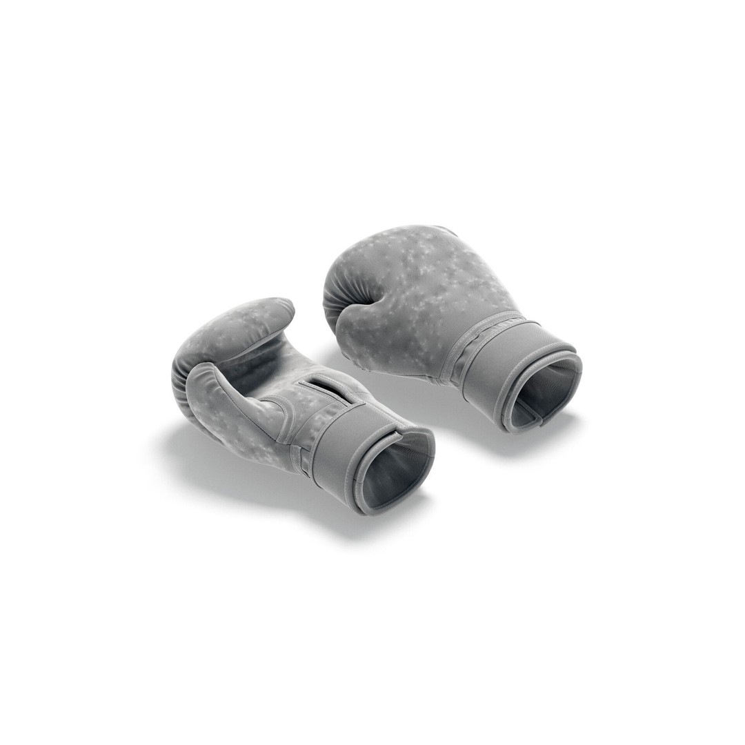
Description
Elevate your projects with this Black Leather Boxing Gloves 3D Model, expertly crafted for realism and detail. Perfect for training simulations, game development, or visualizations, this model delivers high-quality aesthetics and performance.
Designed using advanced simulation techniques in Marvelous Designer, this model is meticulously cleaned and unwrapped in 3ds Max, ensuring a professional finish. With its PBR textures, your renders will exhibit lifelike visuals that enhance the overall experience.
- File Formats: FBX, OBJ, 3ds Max (V-ray and Scanline), Maya, Cinema 4D
- Geometry: Subdivision ready, manifold geometry, no N-gons or faceted geometry
- UV Mapping: Properly unwrapped UVs with no overlaps
- Textures: 8K resolution textures provided in a separate zip archive
- Materials: Includes procedural V-ray material for enhanced realism
This 3D model is ideal for game developers, animators, and visual effects artists looking to incorporate authentic boxing equipment into their projects. Whether for a training app, game asset, or animation, these gloves provide the perfect touch of realism.
Download now and enhance your project with this premium 3D model!