Stacked Beehive 3D Model – Realistic PBR Asset with 4K Textures
File Formats
Native Format
Exchange Formats
Features
File & scene
Geometry
Textures & material
UVs & naming
3D Features
Unwrapped UVs
Download information
After purchase, you will receive an email within several hours with a download link to access your files.
Description
Introducing the Stacked Beehive 3D Model, a highly detailed and realistic asset perfect for a variety of uses, including interior design and close-up visualizations.
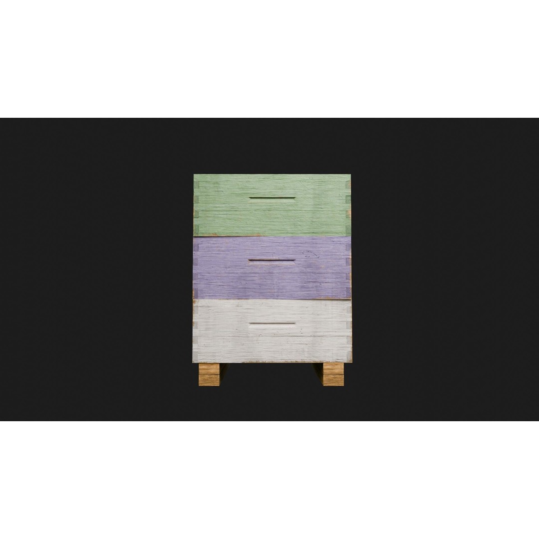
This model features three Langstroth-style boxes intricately stacked on a robust wooden stand made from 2x4s, complete with a lid and six uniquely designed honeycomb frames. The frames are removable, allowing for flexible presentation options in your projects.
- File Formats: Binary FBX (no unsupported objects)
- Geometry: Polygon mesh with no N-gons or faceted geometry, ensuring manifold geometry
- Textures: PBR textures with 4K and 2K sets (Albedo, Roughness, Metallic, Normal, Height, Translucency)
- UV Mapping: UV unwrapped model with no overlaps for easy retexturing
- Vertex Colors: Included for enhanced detail
This model is ideal for game developers, animators, and architectural visualizers looking to add a touch of nature and realism to their projects. The meticulous detailing allows for stunning close-up renders and versatile use across various applications.
Ready for immediate download, this Stacked Beehive 3D Model is a must-have for your digital asset library. Get your copy today and elevate your designs!