Brushed Limestone 3D Model – High-Quality PBR Texture, FBX, OBJ
File Formats
Native Format
Exchange Formats
Features
Geometry
3D Features
Unwrapped UVs
Download information
After purchase, you will receive an email within several hours with a download link to access your files.
Description
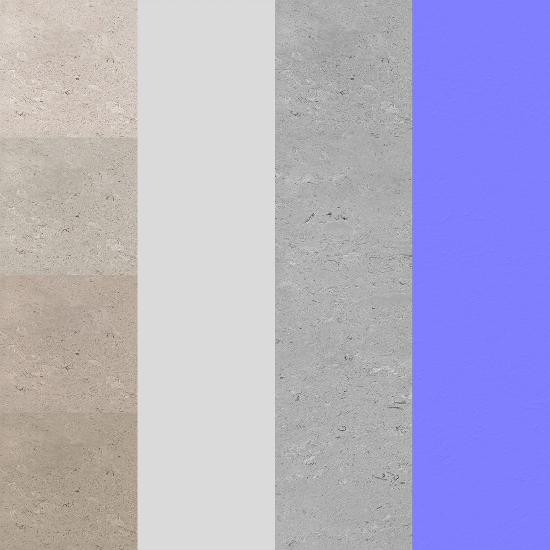
Discover the stunning Brushed Limestone 3D Model, designed for architects and artists seeking a high-quality architectural texture. This natural stone asset features exceptional detail, making it perfect for close-up rendering.
With a resolution of 8192x8192 pixels, this PBR texture ensures realistic lighting and reflections, enhancing your visual projects. The model includes four materials with twelve types of tiling, allowing for versatile applications in various design scenarios.
- Formats: FBX, OBJ, Max 2020 (Corona 5, V-Ray 4.10.03.00001)
- Polygon Count: 58,029
- Vertex Count: 77,372
- Fully textured with all materials applied
- UV Mapping: Mixed
This asset is ideal for game development, architectural visualization, and animation projects. Whether you’re creating realistic environments or intricate designs, the Brushed Limestone model will elevate your work.
Ready to enhance your projects? Download now and explore the possibilities!