Pakistan Map 3D Model – Realistic Satellite Terrain, FBX, OBJ
File Formats
Native Format
Exchange Formats
Features
3D Features
Geometry
Unwrapped UVs
Download information
After purchase, you will receive an email within several hours with a download link to access your files.
Description
Explore the stunning detail of our Pakistan Map 3D Model, featuring realistic satellite terrain crafted from high-resolution imagery. This model provides a comprehensive geographical representation, perfect for visualization and educational purposes.
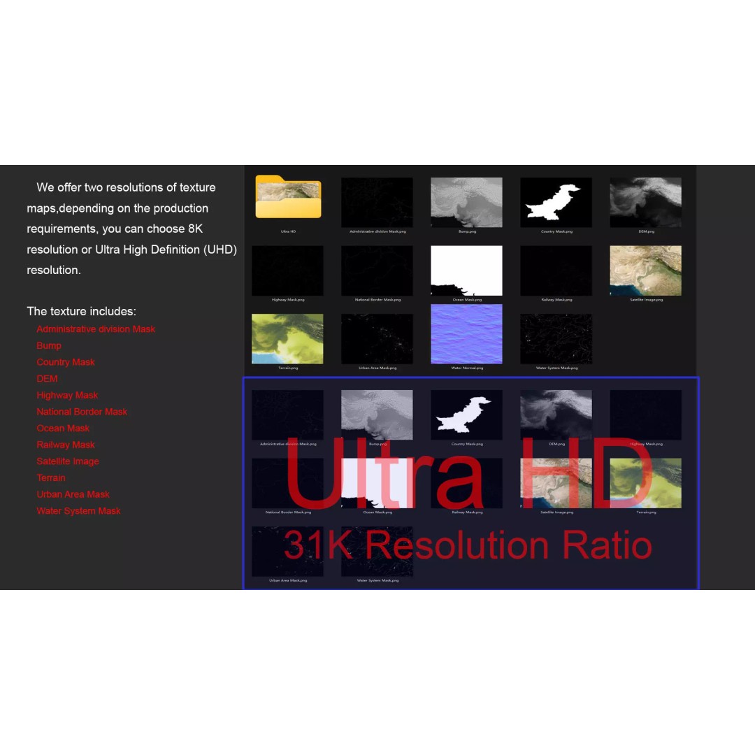
With an impressive polygon count ranging from 720,000 to 11,520,000, this model ensures rich detail and accuracy. The included textures, available in both 8K and 31K resolutions, enhance the realism of your projects. The satellite imagery is corrected for cloud coverage, ensuring a clear and detailed view of the terrain.
- Formats: MAX, FBX, OBJ, STL
- Polygon Count: 720,000 - 11,520,000
- Texture Resolution: Up to 31K
- Displacement Map included for accurate terrain modeling
- Non-overlapping UV Mapping
- V-Ray materials for superior rendering quality
This versatile 3D model is ideal for game development, architectural visualization, and educational projects. Its detailed topography and accurate representation of national borders make it a valuable asset for designers and developers alike.
Download now to elevate your next project with this high-quality terrain model!