East Timor Map 3D Model – Realistic 8K Satellite Terrain, FBX, OBJ
File Formats
Native Format
Exchange Formats
Features
3D Features
Geometry
Unwrapped UVs
Download information
After purchase, you will receive an email within several hours with a download link to access your files.
Description
Discover the stunning East Timor Map 3D Model, featuring realistic 8K satellite terrain that brings geographic details to life. This highly detailed asset is perfect for various applications, including game development, architectural visualization, and educational purposes.
The model is crafted using advanced techniques, ensuring high fidelity and accuracy. With a polygon count ranging from 720,000 to 11,520,000, it captures intricate terrain features and elevations. The included 8K textures enhance visual quality, providing you with exceptional detail for any project.
- Formats: MAX, FBX, OBJ, STL
- Polygons: 720,000 to 11,520,000
- Projection: Mercator GCS_WGS_1984
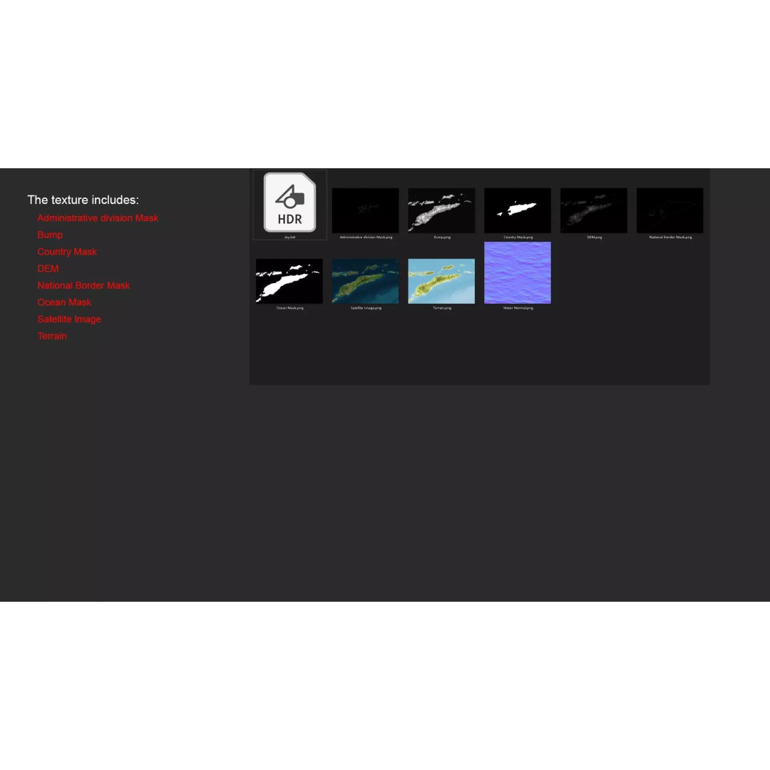
- High-resolution satellite imagery with Photoshop correction
- Displacement Map (DEM) with ≥ 30-meter accuracy
- Rich bump and color maps generated from elevation data
- Various masks for national borders, administrative divisions, and water systems
- Non-overlapping UVs for easy material application
Ideal for developers, artists, and educators, this 3D model serves as a versatile tool for visual storytelling and geographic exploration. Whether you're creating immersive environments or educational content, this asset meets high standards for quality and realism.
Download now to enhance your projects with this detailed terrain model.