Dominican Republic Map 3D Model – Realistic Satellite Terrain, FBX, OBJ
File Formats
Native Format
Exchange Formats
Features
3D Features
Geometry
Unwrapped UVs
Download information
After purchase, you will receive an email within several hours with a download link to access your files.
Description
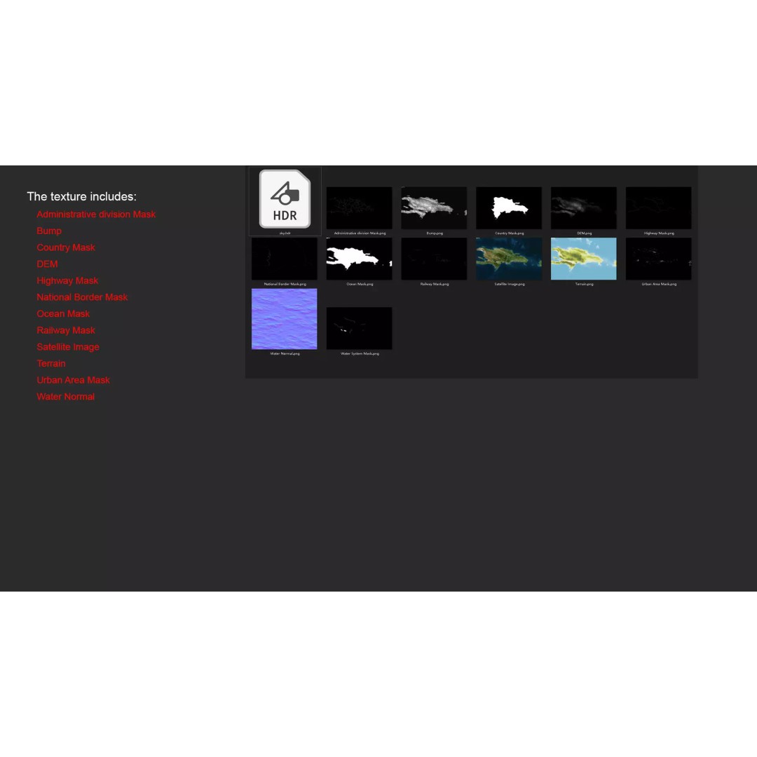
Discover the intricate beauty of the Dominican Republic with this realistic satellite terrain 3D Model. Featuring high-resolution textures and detailed elevation data, this model is perfect for visualizing the diverse geography of this vibrant Caribbean nation.
Designed for versatility, this model comes in multiple formats, including MAX, FBX, and OBJ, ensuring compatibility with various 3D software. The terrain is enhanced with 9K resolution satellite imagery and masks that allow for precise material blending, making it ideal for both educational and professional use.
- Formats: MAX, FBX, OBJ, STL
- Polygon Count: 720,000 - 11,520,000
- Texture Resolution: 9K
- Includes DEM and Bump Maps for detailed displacement effects
- Non-overlapping UV Mapping
This model is suitable for a wide range of applications, including game development, architectural visualization, and animation. Whether you are creating a realistic landscape or a detailed geographical study, this asset provides the depth and accuracy needed to bring your projects to life.
Download now to start utilizing this comprehensive Dominican Republic Map 3D Model in your next project!