Afghanistan Map - 29K Realistic Satellite Terrain 3D Model
File Formats
Native Format
Exchange Formats
Features
3D Features
Geometry
Unwrapped UVs
Download information
After purchase, you will receive an email within several hours with a download link to access your files.
Description
Explore the stunning landscapes of Afghanistan with this highly detailed 3D model featuring realistic satellite terrain. The model is available in multiple formats including MAX, FBX, and OBJ, ensuring compatibility with your preferred 3D software.
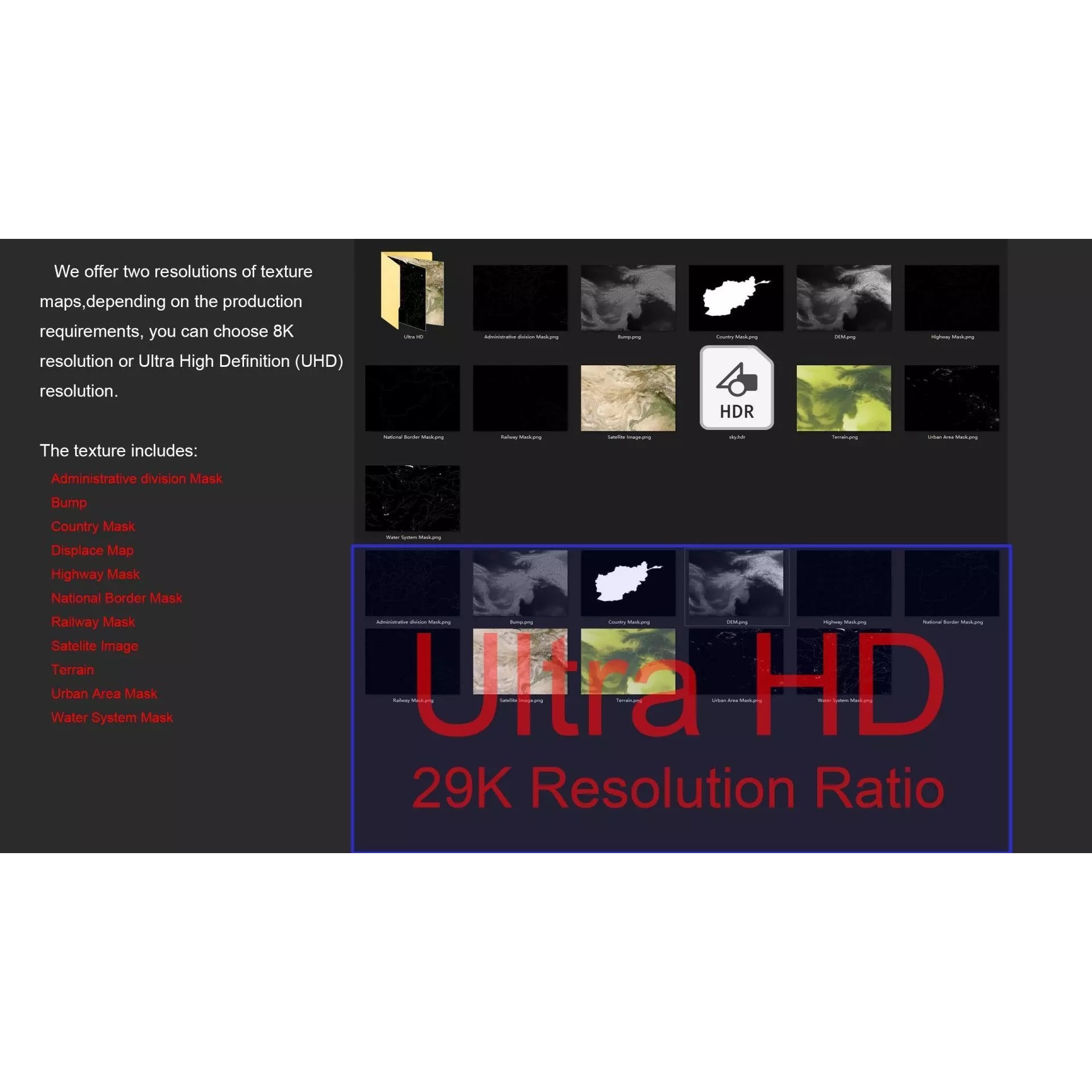
With a polygon count ranging from 720,000 to 11,520,000, this model captures intricate geographical details. The included textures feature both 8K and 29K resolutions, providing exceptional clarity and realism.
Utilizing advanced elevation data, this model includes DEM and bump maps for enhanced surface detail. Various masks help in visualizing national borders, administrative divisions, and water systems, making it a valuable resource for geographic and cartographic projects.