Korean Peninsula Map 3D Model – Realistic Satellite Terrain, FBX, OBJ
File Formats
Native Format
Exchange Formats
Features
3D Features
Geometry
Unwrapped UVs
Download information
After purchase, you will receive an email within several hours with a download link to access your files.
Description
Explore the stunning Korean Peninsula with our high-quality 3D model, featuring realistic satellite terrain. Perfect for visualizations and educational projects, this model offers intricate details and accurate geographical representations.
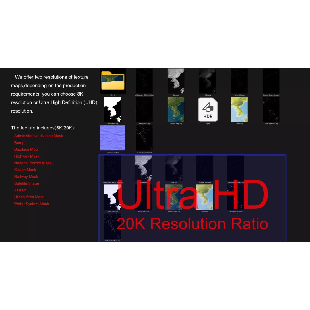
With a polygon count ranging from 720,000 to 11,520,000, this model captures the diverse topography of the Korean Peninsula. Utilizing advanced satellite imagery and textures, it includes both 8K and 30K resolution maps for exceptional detail. The integrated masks allow for easy material blending, ensuring that the terrain's elevation and features are represented accurately.
- Formats: MAX, FBX, OBJ, STL
- High Polygon Count: 720,000 - 11,520,000
- Projection: Mercator GCS_WGS_1984
- Textures: 8K/30K resolutions with Photoshop correction
- Includes DEM, Bump, and Contour Line maps
- Unwrapped UVs: Non-overlapping
- Created in Autodesk 3ds Max with V-Ray materials
This model is ideal for game developers, animators, and architects looking to incorporate realistic terrain into their projects. With its detailed features and versatile formats, it's a valuable asset for any 3D visualization or simulation.
Download now to elevate your projects with this realistic Korean Peninsula terrain model!