Greece Map 3D Model – Realistic Satellite Terrain with Textures, FBX, OBJ
File Formats
Native Format
Exchange Formats
Features
3D Features
Geometry
Unwrapped UVs
Download information
After purchase, you will receive an email within several hours with a download link to access your files.
Description
Discover the stunning Greece Map 3D Model, showcasing a highly detailed and realistic satellite terrain, perfect for various applications in visualization and geography.
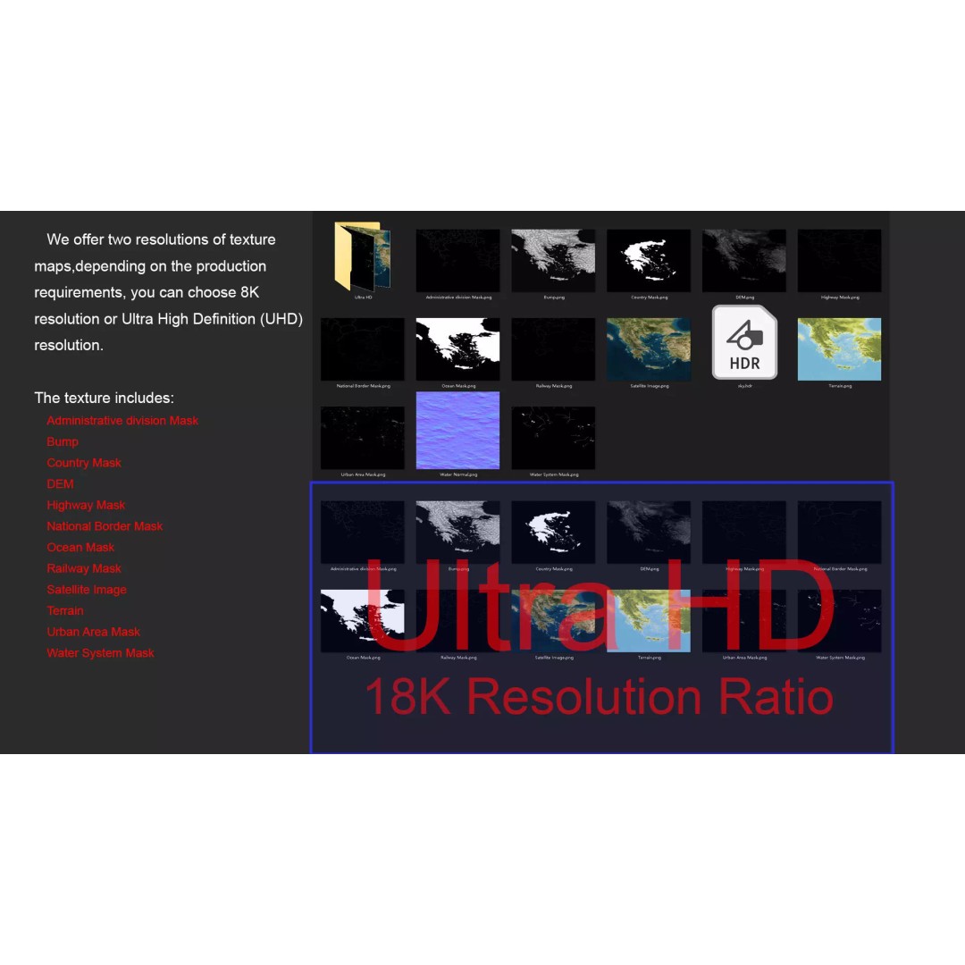
This model features an impressive range of textures and materials, ensuring that your projects stand out with vibrant and accurate geographical details. With both 8K and 18K resolution texture maps, you can achieve rich surface representations that reflect real-world features.
- Formats: MAX, FBX, OBJ, STL
- Polygons: 720,000 - 11,520,000
- Projection: Mercator GCS_WGS_1984
- High-resolution satellite imagery with Photoshop correction
- Displacement maps generated from elevation data with ≥ 30-meter accuracy
- Non-overlapping UV mapping for better texturing
- Includes masks for national borders, water systems, urban areas, and more
This model is ideal for game developers, architects, and educators looking to enhance their projects with realistic geographical data. Whether you're creating immersive environments, educational content, or visualizations, this Greece Map model is a versatile asset for your toolkit.
Ready to elevate your projects? Download now and explore the detailed terrains of Greece.