Montenegro Map 3D Model – Realistic Satellite Terrain, FBX/OBJ
File Formats
Native Format
Exchange Formats
Features
3D Features
Geometry
Unwrapped UVs
Download information
After purchase, you will receive an email within several hours with a download link to access your files.
Description
Explore the stunning geographical features of Montenegro with this high-resolution Montenegro Map 3D Model. Created using advanced satellite imagery, this model provides a detailed representation of the terrain, perfect for visualization and simulation projects.
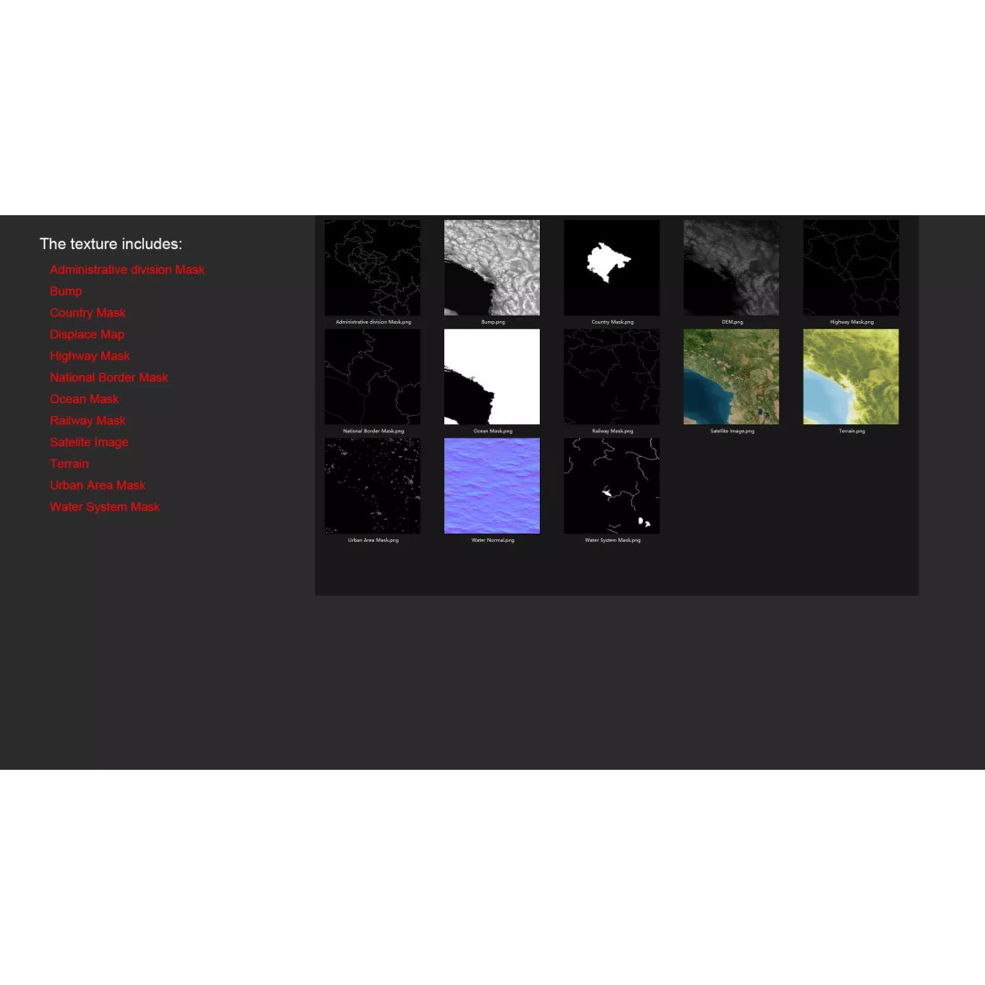
This 3D model features textures and materials that enhance your project’s realism. The included 5K textures, derived from accurate elevation data, provide rich surface details and vivid color maps that visually represent altitude variations. The model is designed to seamlessly integrate into various 3D applications, ensuring high fidelity and performance.
- Formats: MAX, FBX, OBJ, STL
- Polygons: 720,000 to 11,520,000
- Texture Resolution: 5K with Photoshop correction
- Displacement Map: Generated from elevation data with ≥ 30-meter accuracy
- UV Mapping: Non-overlapping
- V-Ray materials converted for compatibility
This model is ideal for game developers, architects, and visual effects artists looking to incorporate realistic geographical data into their projects. Whether for educational purposes or high-end visualizations, this Montenegro Map serves as a versatile asset.
Download now and elevate your project with this detailed Montenegro Map 3D Model.